Distance to Finish: 19 Miles, 9 Hours 45 Minutes
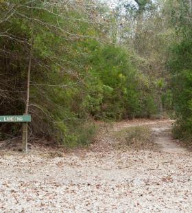


About This Landing
Gravel Landing is the uppermost landing for the 19 mile Alabama State Lands Perdido Canoe Trail. It provides boaters with access to all shelters and the southern two landings on the trail. To access Gravel Landing from State Highway 112, turn onto Staple Fork Road then follow the signs to the landing. Shelters accessible from this landing are Nelson Ditch, Peaden Lake, Loggerhead Creek, and Swamp Field Shelters. Landings accessible from this landing are Staple Fork and Blue Lake Landings.
RECOMMENDED WATER LEVELS
The Perdido River average water levels range from 2-6 feet with flood stage at 13 feet. This river is greatly influenced by local rainfall levels and paddlers are encouraged to check local weather reports and water levels prior to making a trip. Water levels can be found on the USGS webpage here.
Log Jams
Canoeist should aware of several known log jams on the Perdido Canoe Trail. There is a jam approximately 1.75 miles south of Gravel Landing. There is a second jam located at the Barrineau Park bridge approximately 5.25 miles south of Staplefork Landing. There is a portage of approximately 50yds on the Florida bank of the Perdido River. Another jam exist immediately after the jam at Barrineau Park bridge, but canoeist should be able to paddle around the jam next to the Florida bank. Each new thunderstorm or high water event can result in trees falling into the rivers and creeks of our trails or creating logjams that block navigation. The Conservation Department staff makes efforts to remove these blockages when possible, but trail users should be prepared for the possibility of having to portage around such hazards.