

About This Landing
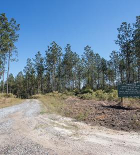
Blue Lake Landing is the last and southernmost landing on the Alabama State Lands Perdido Canoe Trail. It is located 19 miles south of Gravel Landing and 10 miles south of Staple Fork Landing. Blue Lake Landing provides no access to any shelters on the canoe trail and is the end of the Alabama State Lands Perdido Canoe Trail. The southern terminus for the Perdido Hiking Trail can be found at the landing providing hikers with 4 miles of trail. To access Blue Lake Landing from State Highway 112, turn onto Duck Road and continue past the Perdido WMA check-in station. Turn left onto Fairview Road then follow the signs around to the landing. There are no additional shelters or landings available on the Alabama Perdido River Canoe Trail. Additional mileage may be paddled using the Florida Perdido River Canoe Trail.
RECOMMENDED WATER LEVELS
The Perdido River average water levels range from 2-6 feet with flood stage at 13 feet. This river is greatly influenced by local rainfall levels and paddlers are encouraged to check local weather reports and water levels prior to making a trip. Water levels can be found on the USGS webpage here.