Distance: 16 miles


About
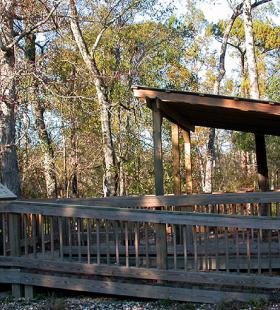
Overnight Route # 2 begins at the French’s Lake Coastal Access Kiosk and ends at Hubbard’s Landing with a stop at Spoonbill Sandbar land based campsite. French’s Lake Coastal Access Kiosk is located on the Forever Wild Land Trust’s Clearwater Tract. To locate French’s Lake Coastal Access Kiosk, traveling north of Stockton, AL on Highway 225/59 follow signs to the Upper Delta Wildlife Management Area and then follow signs to French’s Lake Coastal Access Kiosk. The map shows French’s Lake is a small slough-like area on Major’s Creek, prior to the creek splitting into several channels. The multiple channels can be confusing, so it is important for users to closely follow the marked route. Once the paddler reaches the old Alabama River channel, the route continues downstream (paddlers left) to the Spoonbill Sandbar campsite. After spending the night the trail proceeds down the Alabama River to Little Bear Creek, Bear Creek, and Big Beaver Creek and then into the upper portion of Tensaw Lake before reaching the end at Hubbard Landing.
Paddlers should note that Spoonbill Sandbar campsite is a first come, first serve land based campsite. The area is large enough to handle several tents.
Habitats
bottomland hardwood swamp, flowing creeks, side channel sloughs and backwaters
Ending Point
Campsites
Spoonbill Sandbar
Type of trail
Old River Channel, Creek, Lake, and Slough
Recommended Water Levels
Claiborne Dam river stages ranging from 10 to 19 feet on tailrace readings provide optimum water levels for this route. Levels from 15-18 are the absolute best for the Globe and Bear Creek systems. For water level information at Claiborne Dam, call 1-888-771-4601 or visit https://waterdata.usgs.gov/al/nwis/uv?site_no=02428401